Viking village in Canada
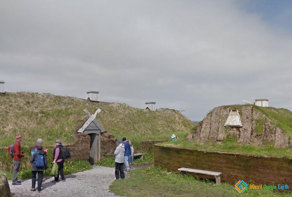
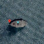
L’Anse aux Meadows National Historic Site is a site of a Norse (Viking) village discovered in 1960, but dating to 990-1050 AD. Noone knows how many people lived there; it is estimated that the poupation could reach 160 people. Currently, reconstructed sodhouses are built on site. It is located at the Great Northern Peninsula on the island of Newfoundland in Canada. More info here. Wadden Sea is a part of the North Sea. It features mud flats (Wad really means ‘mud flat’ in Dutch). Ships can get caught on those in low tide. That’s exactly what seems to have happened here! There are a few more ships around, so take your time to look around!
Name: Viking village in Canada
Lat, Long: 51.5963963,-55.5331734
Location: Newfoundland and Labrador, Canada


Leave a Reply