Amelia Earhart’s Plane?
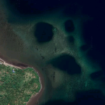
A curious Weird Google Maps subscriber points out the possibility these strange shapes washed up on shore in Kiribati could be pieces of Amelia Earhart’s long-missing plane. It could also be from a dead whale, or even just flotsam and jetsam that washed up on the sands after the passing of time. What do you think?
Name: Amelia Earhart’s Plane?
Lat, Long: -4.6608639,-174.544893
Location: Noriti, Kiribati
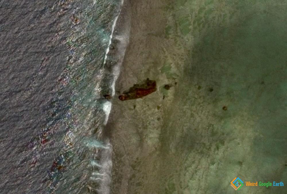
Submitted by: Jamie Phipps
https://www.weirdgoogleearth.com/2020/12/17/amelia-earharts-plane/https://www.weirdgoogleearth.com/wp-content/uploads/2020/12/amelia-earharts-plane.jpg?v=1629213175https://www.weirdgoogleearth.com/wp-content/uploads/2020/12/amelia-earharts-plane-150x150.jpg?v=1629213175Conspiracy theoryMysterious EventsAmelia Earhart,Conspiracy,Conspiracy theory,Mysterious,Oceans,ShipwreckA curious Weird Google Maps subscriber points out the possibility these strange shapes washed up on shore in Kiribati could be pieces of Amelia Earhart's long-missing plane. It could also be from a dead whale, or even just flotsam and jetsam that washed up on the sands after the...WeirderWeirder Weirder@ianevitch.comEditorWeird Google Earth


i belive i can fly
80 years later…a piece of the wing just happens to still be right at the shoreline? No…that is more than likely a giant piece of debris that had washed up. People have been searching that island for years looking for evidence of her plane. It wouldn’t just happen to be there where a plane circling the island would have seen it.
No, thats the wrong place. Look another 250 meters north of the wreck of the Norwich city here: 4°39’31.2″S 174°32’41.0″W
https://goo.gl/maps/MDwP9vm1ANuLSiKP6
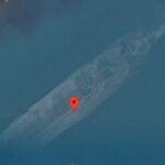
And near this pin you will see the shape of the Electra. Using google maps measure distance and the wingspan is 52ft vs 55 feet of an Electra and the length of the plane measured is 39 ft as opposed to 38ft. You can even vaguely make out the twin boom tail plane. If you spin the map around and take a screenshot and clean it up i becomes more clear.
Do not get excited. Its not there now, thats an imprint in the coral bed where the coral grew around it. Its obviously been swept away probably by a recent Tsunami or real bad storm. But, Bob Ballard could not find a trace as someone from the mission said they had trodden every inch of that coral flat and that it was merely potholes. Strange a coral formation should have the exact dimensions of the Lockheed Electra.
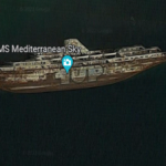
This is as norwich city, a UK cargo ship that ran ashore about 5 years before Earhart disappeared, this is also what the misconstrued radio message was thought to be “new your city” she could have been identifying the boat, it’s likely that her plane is on a shelf in the lagoon inside gardener island maybe further down because of tide movements however it is believed that there were radio transmissions after she would have been projected to run out of fuel completely and in a press release not long after Lockheed stated that for the 10E Electra to transmit radio the right engine and any part of its propellor would have to be completely clear of the water, also the radio messages were coinciding perfectly with tidal movements where the water would be low enough to start that engine